
Debris-flow risk study for an urban ravine, Taltal
2D debris-flow modelling to assess the exposure of an urban property.
- Region
- Antofagasta
- Year
- 2026
- Services
- River hydraulics and hydrology
- Sector
- Real estate and subdivisions
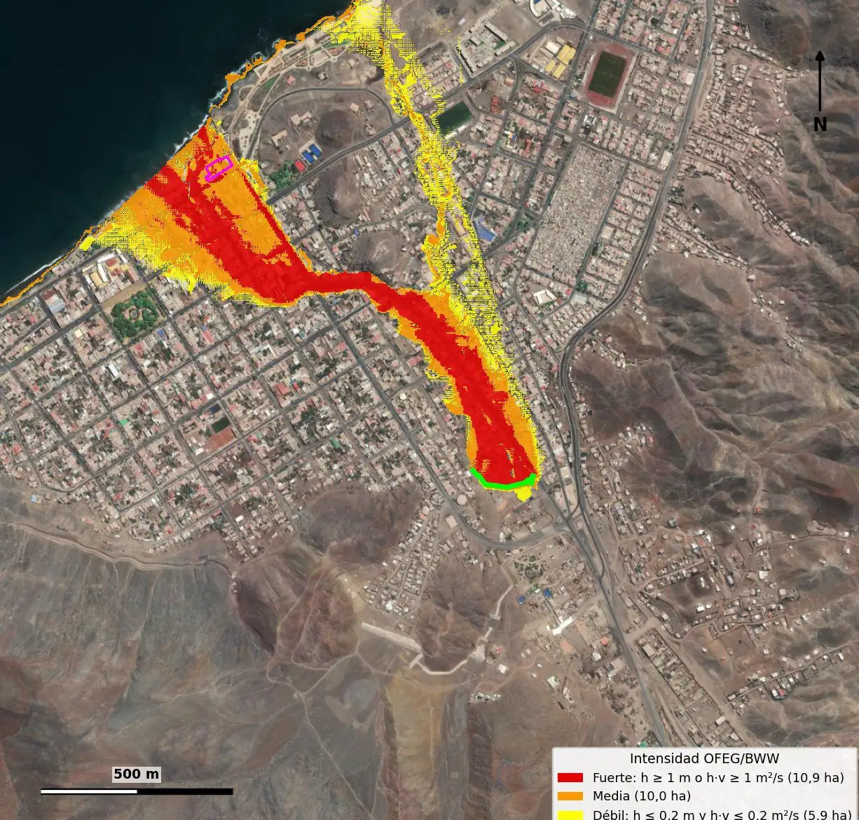
Assess whether an urban property in Taltal was exposed to debris flows from nearby ravines.
We built a 1 m digital terrain model, modelled ravine runoff in 2D and classified hazard by flow depth and velocity.
HEC-RAS 6.6 (2D), QGIS, orthoimagery.
Related projects
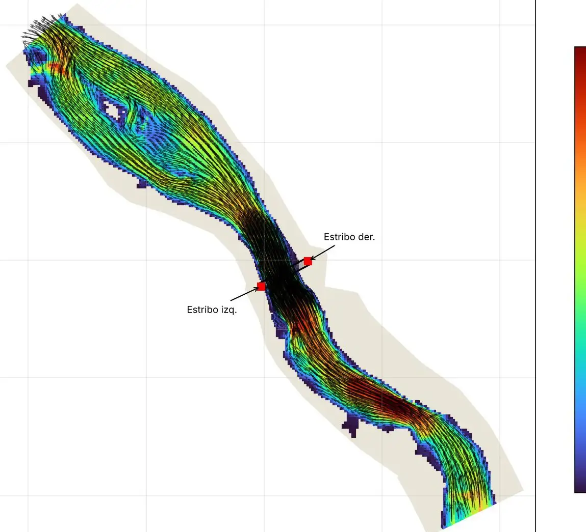
Bridge abutment protection and gravel extraction, Llaquepe river
HEC-RAS 1D and 2D modelling to protect bridge abutments and define a gravel extraction area.
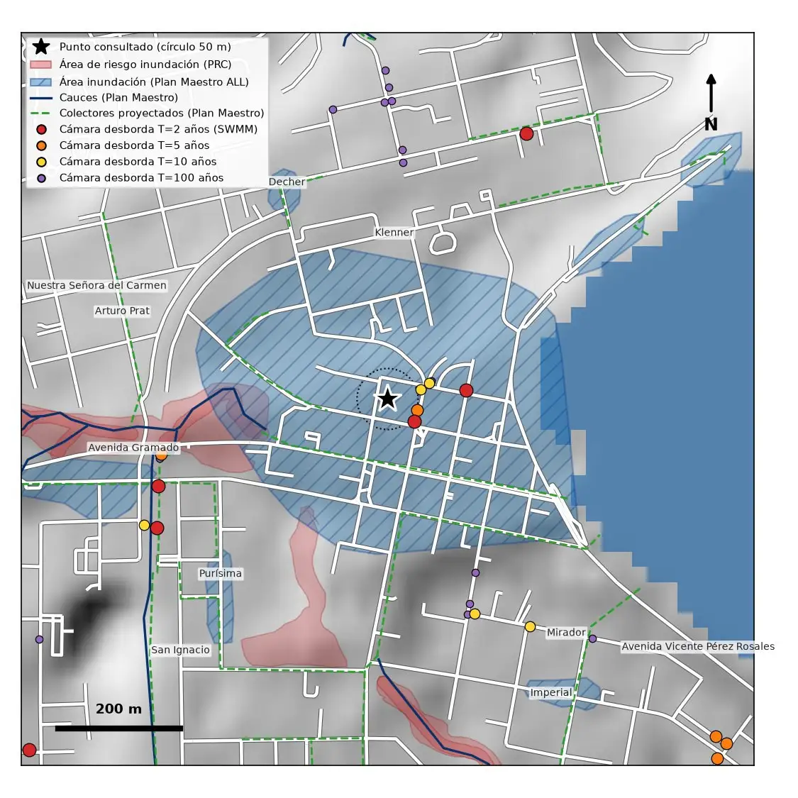
Urban flood risk app
An app combining public sources and SWMM modelling to assess the flood risk of an address.
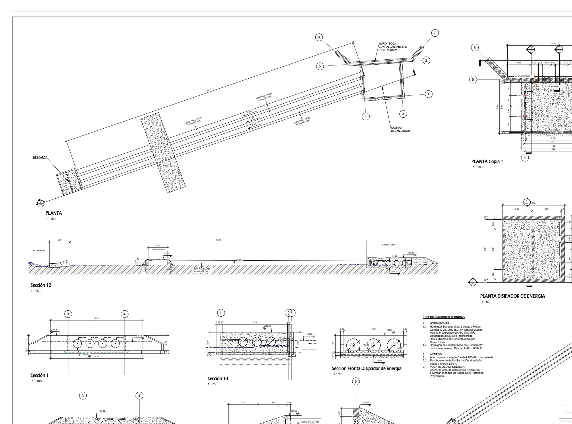
Sectoral environmental permits for hatchery assessments
Hydraulic component of PAS 155, 156 and 157 permits for hatchery environmental assessments, alongside environmental consultancies.
Working on something similar?
Tell us the location, type of works and timeline. We will reply with a scope and a proposal.